Viaje a la Sostenibilidad

Moncayo Mountain

Trail name and description Province of Zaragoza 41°47′17″N 1°50′18″O Level & Scale of difficulty used for hiking E (For more info have a look here)  Duration 3,05 hours Distance 6,8 km Refreshing points There are 2 water sources at the very beginning of the trail Shelters Santuario and a stone open roof shelter at the […]

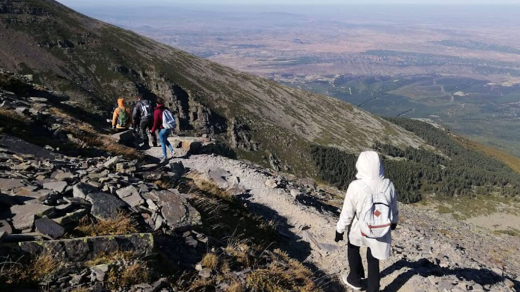
Moncayo Mountain Read More »

Ainsa

Trail name and description Ainsa, Huesca N 42° 24′ 54.708” E 0° 8′ 25.231” Level & Scale of difficulty used for hiking E (For more info have a look here)  Duration 4.40 hours Distance 14,13 km Refreshing points None Shelters Guaso esconjuraderos Best period for hiking All year long it is possible to hike with

Ainsa Read More »